LESS-KNOWN ANCIENT PLACE NAMES IN BUCA
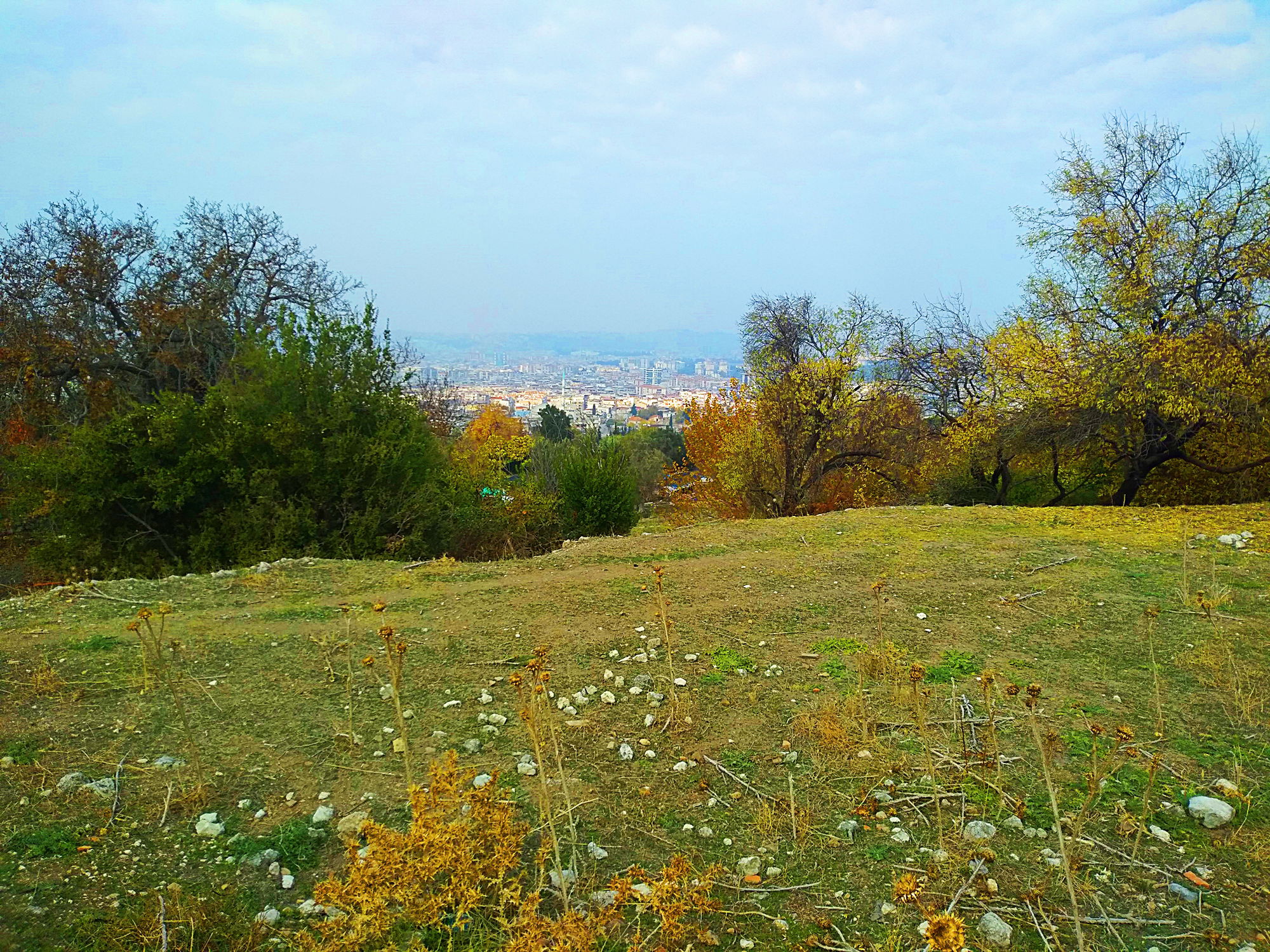
As time passes and cities grow, place names that come from the past may be forgotten or changed. After a while, new generations become unaware of place names that were once frequently used by the elders. For example, the name of ''Öğretmenevleri'' (En: Teacher Houses) is not known by the people like before and sometimes people can understand only when it is called as ''Kafeler Sokağı.'' (En: Street of Cafes) The fact that ''Mevlana hill'' began to be used instead of ''Tıngırtepe'' is another example that the usage of historical names among the people began to be under threat. Some place names are long forgotten than this and they are only remembered by people between certain age range. The place names of Buca, which are lost to time and increasingly forgotten, however once used by people very frequently, were shortly compiled. A map was added to the bottom so that places can be understood better. Hopefully this study will be useful in terms of not losing and remembering these old place names, most of which have been used more that a century.
Bayramyeri
It was named from the fact that the holidays have been celebrated here since old times. It was also called as ''Çamaltı''. Not only the holidays, but also different events were held here. Bayramyeri was larger before 23 Nisan Primary School was built here. It lost a large area when the school was built. And the remaining area now stays in memories after the recent construction and the demolition of the last remaining pine tree. Its name is not widely known among the people, except the locals of Buca.
Also see: Bayramyeri's century-old pine fell victim to the construction
Çifteselviler
There used to be two large cypresses on the road that people used to go to Kozağaç. It was called Çifteselviler because of this. It was surrounded by fruitful vineyards and orchards. There was a very large well close to Çifteselviler. In the end, its surrounding filled with apartments because of construction. One of the cypresses was cut. Only one cypress remained. Today, the only remaining cypress is still alive on Gazeteci Yazar İsmail Sivri Boulevard, formerly known as Kozağaç road. Not many people know the name Çifteselviler, except the elders of Buca and the locals of the neighbourhood. Çipro It was an area surrounded by vineyards and orchards, located above Dereköy. There is no information where its name came from. It may have been named by the Greeks.
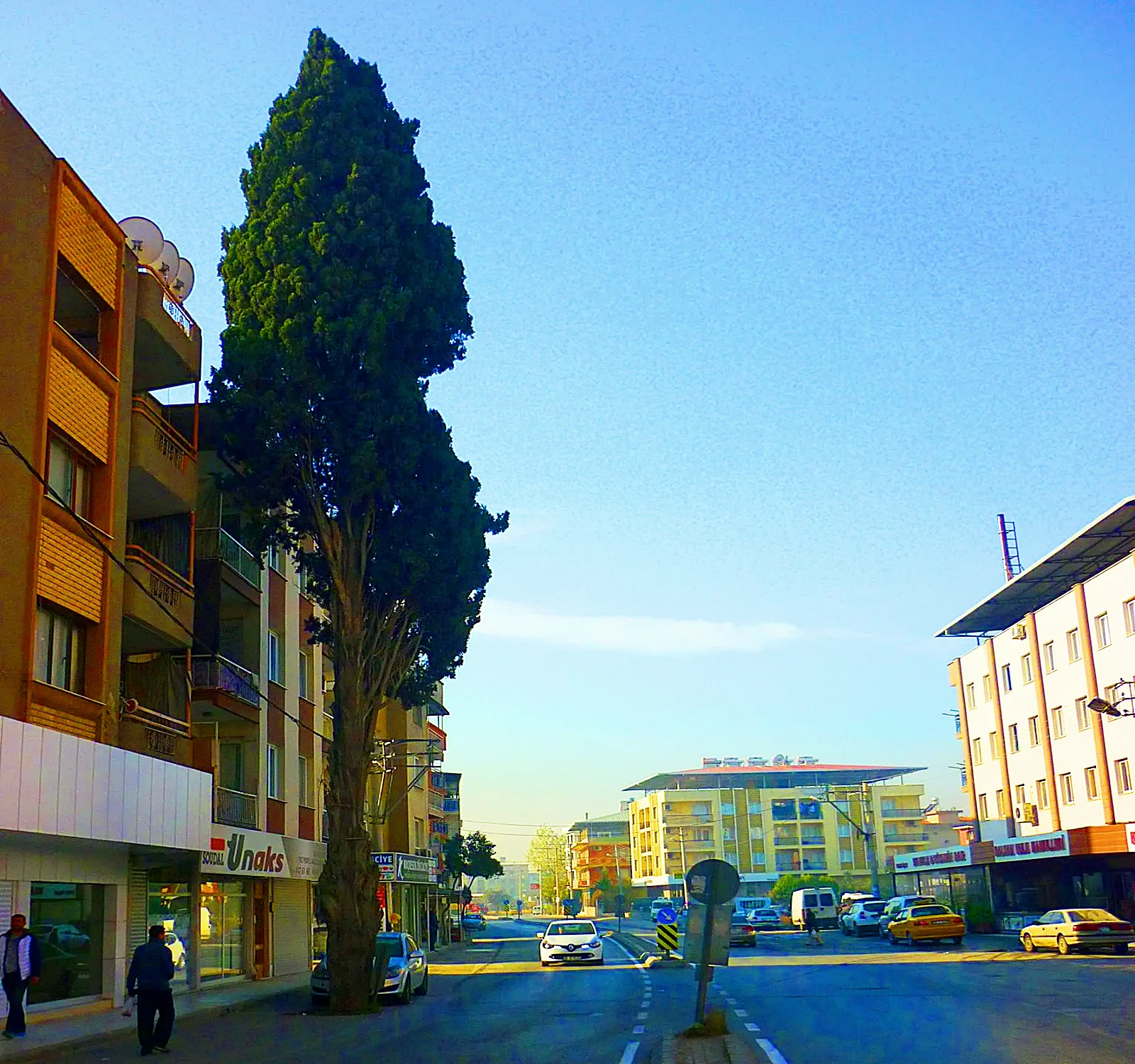
Çifteselviler area and the last remaining cypress
Harmanbaşı
It was called Harmanbaşı from the fact that the locals of Yaylacık were threshing and collecting their crops in this area since old times. There was no settlement above Yaylacık neighbourhood in the past. It was a large and flat area. Today, it is a crowded street which is located at a crossing between 36th street and Özbekistan street.
Kangöl (or Manavur)
Kangöl got its name from a spring in the Dereköy area. It was named as such because where the spring comes out is in a bog shape and it really creates a slough like a lake. The name of Kangöl is not in use as much as it used to be. Locals generally call this place Manavur. The construction is still not too much and its nature is largely preserved.
Also see: The forgotten waterway of Buca
Karakolönü
The gendarmerie station of Buca was on Dokuzçeşmeler district since the Ottoman Era. It was a small house, located across the Remo Missir house and used to be called ''konak''. This house was demolished in the 1970s and has been an empty area since its demolition. It was called ''karakolönü'' among the locals. The elders still call like this however its name is not widely known among the younger generations. There were houses in the area where Cumhur Asparuk Square is today. There was no square in the past. And this area was also in the neighborhood called ''karakolönü''.

The remaining empty area of the gendarmie station
Kokinos
Today, the area which includes large parts of Kuruçeşme and Buca Koop. neighbourhoods is known as the ''Kokinos'' area. In the past, there were vineyards in this area which has now become an urban area. It took its name from the Kokkinos family of Buca, during the Greek period. It seems this family, engaged with bakery, had large estates in this area. The name seems to came from the Greeks to the Turks and today. The name Kokinos is not widely known except the locals.
Koşu
It is the name given to the region, when the name hippodrome was not widely used in Turkish during Ottoman Era. People used to say ''we are going to the Koşu (en: running)'' instead of hippodrome, when they were going to the races. Today, Koşuyolu street in Kızılçullu got its name from this place. It is not widely used among people today.
Koşutepesi
These slightly hilly areas between Buca and Kızılçullu are called ''Koşutepesi'' since old times, because they are facing the hippodrome. In the past, people used to both watch horse races and picnic and entertain from these high grounds. Today there are two large parks here. One is Ötüken Park and the other is Yörük Ali Efe Park. The name Koşutepesi is little known among the people.
Kozağaç
It has no relation with Kozağaç neighbourhood. It is on the upper side of the highway, on the way to Gaziemir. In the past, it was one of the most famous promenade places in Izmir. Once Atatürk had visited Kozağaç. It has lost its old reputation after a while. Most of people understand Kozağaç as a neighbourhood when it is mentioned. However, when the elders of Buca hear this name, they go to their childhood memories in which they used to go to this heavenly place and they continue to use this name.
Meydanlık
There was a large area between 36th and 38th streets in the past. The locals from the neighbourhood used to call it ''Meydanlık''. Now only a small area remains because of the urbanization. Its name is known mostly by the elders.
Olduruk
There used to be a Turkish farm during the Ottoman Era, called ''Ludruk''. After a while, it has possibly converted to Olduruk. This area, which is located inside the borders of Zafer neighbourhood on the road to Kaynaklar, has today converted into a place which mostly consisted of industrial establishments. The name Olduruk is still widely used.
Osmanağa
Wee see that Kızılçullu aqueducts are sometimes called Osmanağa aqueducts in old sources. Osman Ağa who gave his name to these aqueducts was the same person who had the waterway built that used to carry water to Izmir. The area of today's Kızılçullu district overlooking Kızılçullu Creek, has taken its name from this person. Today there is Osman Ağa Park in this area, bearing the same name. Even though this name is sometimes used by the locals, it is observed that it is not known as much as the past.

The grape maker statue in Osmanağa Park
Pınarçeşme
Its name comes from a fountain near Kangöl spring in Dereköy. The fountain continues to flow. Its name is remembered only by the locals.
Sıçanköy
Its name comes from the Greeks. Greeks called the village ''Pontikohori'' which they founded in 1901. The name of the village, which means ''Sıçanköy'' in Turkish, has survived to the present day by being translated to Turkish. Formerly existed as a very small settlement situated to the west of Tıngırtepe, this region is today in the urbanization area. The locals still use this name frequently.
Sıtmapınar
There was a fountain down the highway, before arriving to Kozağaç. It recently succumbed to construction. This area used to be called Sıtmapınar area because of this fountain. Kozağaç water used to flow here, then from here to Koşu Creek and from there to Kızılçullu Creek. It lost its name along the fountain. It is hardly ever used.
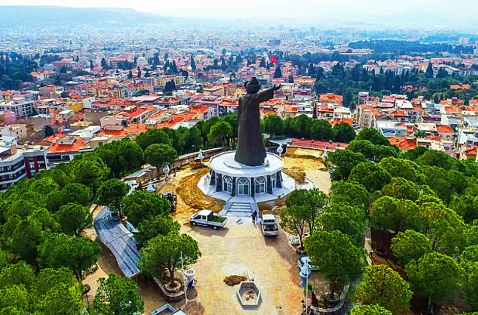
Tingirtepe (or Tumba)
Its name comes from the Armenian citizen Bedros Tingirian who built his house on the hill in the early 1800s. Its name has survived to this day. However, Buca's locals don't like that Tingirtepe began to be called Mevlana hill because of the Mevlana statue which was built very recently and Buca's locals still mostly call the location as Tingirtepe. This area was also called Tumba before. The name Tumba is not widely used today. It got its name because of its shape resembling a cone.
Also see: The curious story of Tingirtepe
Tingirtepe or Tumba
Yerli Quarter
Turks also used to live in Greek-majority Buca during the Ottoman Period. Turks used to live in the Turkish Quarter called as ''Turkomahala''. Almost all of these people had come the region from the Balkans. After the Republic, Buca's locals began to call this quarter as ''Yerli (en: native) Quarter'', so to speak commemorating the first-coming Turks. Its name has survived to this day, however mostly known by the elders. This area, which is among 64th street and Kibris street, has been affected vastly by the urbanization and this quarter, completely consisted of historical houses in the past, now has only 2-3 historical houses.
Yorgalı
Georgalos family was one of the wealthiest Greeks of Buca. Among them there was Stasos Georgalos, who was the mayor of Buca between 1908-1918. The family had very large lands in this region. The region was named after this family because of this reason. After the Republic, the name of this region has come to this day by being adapted into Turkish as Yorgalı. Today, it roughly corresponds to the Firat neighbourhood. Of course, this place was also full of vineyards and orchards in the past. There was no construction. Only the elders remember the name Yorgali today.
A map to better understand the places

This article was created by atalarimizintopraklari.com. All rights reserved.